Description:
Learn to map the 2022 Indus Valley Flood in Pakistan using ProRaster Scientific in this comprehensive tutorial. Explore techniques for computing flooded land area, examining Earth Observation multispectral imagery, and addressing challenges in flood mapping. Discover key insights on QA mask limitations, NDWI spectral index variations, and the dynamic nature of flood events. Follow step-by-step instructions on scene extraction, database building, mosaic creation, cloud removal, and custom water index computation. Compare this approach with other platforms like Google Earth Engine and Microsoft Planetary Computer while gaining practical skills in flood extent mapping and data integration.
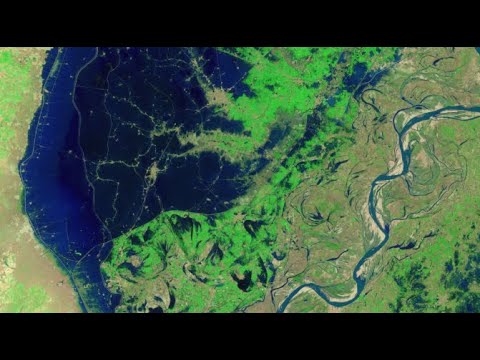
Mapping the 2022 Indus Valley Flood Using ProRaster Scientific - Pakistan
Add to list
#Engineering
#GIS
#Remote Sensing
#Satellite Imagery
#Data Science
#Data Analysis
#Geospatial Analysis
#Computer Science
#Artificial Intelligence
#Computer Vision
#Image Processing
#ProRaster Scientific
#Landsat