Description:
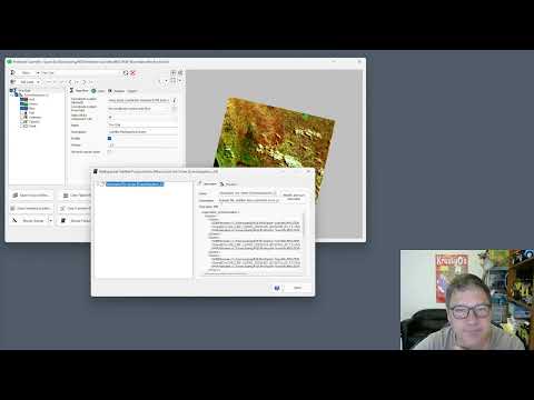
Explore a 25-minute video tutorial on analyzing the Wooroloo fire scar using ProRaster Scientific software. Learn to build a scene sequence product with Landsat 8 and 9 surface reflectance data, covering six events from the February 2021 fire near Perth, Australia. Follow step-by-step instructions on computing the Burned Area Index (BAI), applying calculator operations, clipping to polygons, and generating detailed statistics. Gain insights into creating Fire Scar RGB band combinations, rendering BAI indices, and developing a final presentation rendering algorithm. Discover the capabilities of ProRaster Scientific for advanced geospatial analysis and fire scar assessment through this comprehensive demonstration by Roberts Geospatial Engineering.
Wooroloo Fire Scar Analysis Using ProRaster Scientific
Add to list
#Engineering
#GIS
#Remote Sensing
#Computer Science
#Artificial Intelligence
#Computer Vision
#Image Processing
#Satellite Imagery
#Data Science
#Data Analysis
#Geospatial Analysis
#ProRaster Scientific
#Landsat