Description:
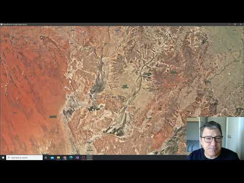
Embark on a comprehensive vegetation change analysis journey in this six-part video series focusing on Coorabulka Station in western Queensland. Learn to utilize ProRaster Scientific for acquiring and processing Landsat 8 and 9 scenes, creating mosaics and collated mosaics, and computing NDVI over a one-year period. Explore the process of building a multispectral satellite imagery scene database, understand the hardware requirements, and dive into the specifics of Landsat data. Gain insights into the "channel country" and its unique flooding events that impact vegetation. Follow along as the video demonstrates building a mosaic in the algorithm editor, setting the foundation for advanced analysis techniques covered in subsequent parts of the series.
NDVI Analysis Using ProRaster Scientific - Coorabulka Station Case Study - Part 1
Add to list
#Engineering
#GIS
#Remote Sensing
#Satellite Imagery
#Computer Science
#Artificial Intelligence
#Computer Vision
#Image Processing
#ProRaster Scientific
#Landsat