Главная
Study mode:
on
1
Observe and Understand Our Planet Using GIS Technology
2
Introduction: Raster Image Processing using ArcPy
3
Introduction: Pixel Editor in ArcGIS Pro
4
Introduction: Multidimensional Analysis using the ArcGIS API for Python
5
Introduction: Multidimensional Analysis in the ArcGIS Map Viewer
6
Introduction: Learn the Basics of ArcGIS Drone2Map
7
Introduction: Multidimensional Analysis in ArcGIS Pro
8
Introduction: Create 2D and 3D Products using ArcGIS Drone2Map
9
Introduction: Machine Learning and Artificial Intelligence in ArcGIS Pro
10
Introduction: Image Classification in ArcGIS Pro
11
Introduction: Deep Learning in ArcGIS Pro
12
Introduction: 3D Building Reconstruction from Lidar
13
Imagery Content in the Living Atlas
14
Multidimensional Analysis: Geoprocessing tools in ArcGIS Pro 2.5
15
ArcGIS and Imagery: Assess Flood Damage with Raster Analytics
16
Ortho Mapping in ArcGIS Pro: Adjusting a Satellite Scene
17
Ortho Mapping in ArcGIS Pro: Processing Drone Imagery
18
Image Management in ArcGIS Pro: Working with Raster Products
19
Managing and Using Planet Imagery in ArcGIS Pro
20
Ortho Mapping: Transforming Raw Imagery into Authoritative Content for GIS
21
Ortho Mapping in ArcGIS Pro: Creating a Workspace for Satellite Imagery
22
Working with the ArcGIS Spectral Index Library
23
ArcGIS Imagery & Remote Sensing
24
AI for LiDAR Feature Extraction
25
ArcGIS Pro: Machine Learning Classification for Impervious Surfaces
26
GeoAI Workflows for National Mapping and Statistics Recording
27
Create Orthoimagery from Aerial And Satellite Imagery
28
How To: Use Individual Images from an Image Service within ArcGIS Pro
29
Introduction: Mosaic Datasets in ArcGIS
30
How-to: Extracting Building Footprints using Esri's Deep Learning Model
31
Create Multidimensional Raster Data Using a Single netCDF , GRIB, or HDF File
32
Create Multidimensional Rasters from a Collection of Images
33
Create Multidimensional Raster Data from Multiple NetCDF, GRIB, or HDF Files
34
Change Detection with LandTrendr
35
How To: Classify a Feature with Multiple Labels Using ArcGIS Pro
36
How To: Extract Residential Parcels from Imagery Using arcgis.learn (BDCN and HED)
37
How To: Use the Pix2Pix Model in arcgis.learn
38
How To: Extract Roads from Satellite Imagery Using arcgis.learn
39
How To: Digitize and Georeference from Scanned Paper Maps Using arcgis.learn
40
How To: Classify Point Cloud Datasets Using arcgis.learn
41
Introduction: Change Detection Wizard in ArcGIS Pro 2.7
42
Introducing ArcGIS Image
43
Powerful Image Analysis for Burn Scars | How To
Description:
Learn the basics of observing and understanding our planet with the help of Arc Gis. The series will also introduce you to various other things such as raster image processing, pixel editor in arcGis Pro, Multidimensional Analysis Python using Arc Gis API and in the Map Viewer. Learn the basics of Drone2Map, Image Classification and Mosaic Datasets in Arc Gis

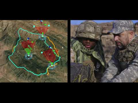
Imagery and Remote Sensing

ArcGIS
Add to list