Description:
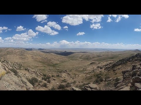
Explore a comprehensive geological investigation of the Hustain fault near Ulaanbaatar, Mongolia in this video presentation. Delve into the highlights of a 2006 field study, examining basin closure models, the Tuul River Valley stratigraphy, and remote sensing analysis. Investigate various subareas, including truncated shoulder-slopes, felsic dikes, and the Bogd Khaan region. Examine field photographs showcasing fault scarps, contacts, and breccia. Analyze kinematic indicators such as folds, shear zones, slickenlines, and tension veins to understand fault movement. Learn about earthquake recurrence curves within a 200 km radius of the study area. For an in-depth review of the complete findings, access the linked thesis for further exploration of this significant geological feature in Mongolia.
Geology and Seismic Potential of the Hustain Fault, Mongolia
Add to list