Description:
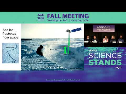
Explore groundbreaking findings from NASA's Ice, Cloud and land Elevation Satellite-2 (ICESat-2) in this 35-minute press conference from the AGU Fall Meeting 2018. Discover how the satellite's advanced laser technology provides unprecedented clarity in measuring Earth's surface features, including glacier crevasses, sea ice cracks, and forest canopies. Learn about the transition from the Operation IceBridge airborne campaign to ICESat-2 and understand the satellite's potential impact on sea level rise predictions and global climate patterns. Gain insights from leading scientists as they present new data visualizations and discuss initial results across various geographical features, including the Suez Canal, reservoirs, land ice, and Arctic sea ice. Delve into the technical aspects of the mission, such as point cloud transects, surface height measurements, and beam pair analysis. Understand the long-term goals of the ICESat-2 mission and its significance in advancing our understanding of Earth's changing ice sheets and climate dynamics.
Read more
First Results from NASA’s New Ice-Measuring Space Laser
Add to list
#Conference Talks
#American Geophysical Union
#Data Science
#Data Visualization
#Science
#Environmental Science
#Climate Change
#Earth Science
#Engineering
#GIS
#Remote Sensing
#Sea-Level Rise