Description:
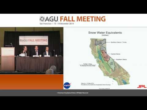
Explore California's severe drought through the lens of space-based observations in this 31-minute AGU Fall Meeting 2014 press conference. Delve into the use of geodetic sensors and drought indicators to analyze water storage, groundwater depletion, and snowpack levels. Examine animated visualizations of water storage changes and gain insights into the impact of reduced snow cover. Learn about innovative measurement techniques, including snow pillows and gray satellites, used to assess snowwater equivalent. Analyze drought maps and discover the far-reaching consequences of California's epic drought as revealed by cutting-edge space technology.
California's Epic Drought as Viewed from Space - Fall 2014
Add to list
#Engineering
#GIS
#Remote Sensing
#Science
#Environmental Science
#Climate Change
#Earth Science
#Hydrology
#Geodesy
#Satellite Imagery