Description:
Dive into a comprehensive hands-on coding workshop focused on deep learning for satellite imagery. Learn essential data processing techniques for satellite images, including data preparation and processing. Explore fundamental concepts of satellite data and master Python-based processing methods. Gain practical skills in image manipulation, including patchifying, normalizing, and rendering. Discover how to process mask images, handle labels, and create RGB-to-label conversion functions. Develop proficiency in preparing training and test datasets for deep learning applications. Access accompanying source code on GitHub to reinforce your learning and continue experimenting with satellite image processing techniques.
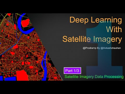
Deep Learning Workshop for Satellite Imagery - Data Processing
Add to list
#Engineering
#GIS
#Remote Sensing
#Satellite Imagery
#Computer Science
#Deep Learning
#Programming
#Programming Languages
#Python
#Data Science
#Data Processing
#Machine Learning
#Model Deployment
#Model Training