Description:
Explore a comprehensive series of tutorials covering essential ArcMap 10 functionalities. Learn to project data views, define and project data layers, export new layers, clip data, label features, create inset maps, and design layouts. Master techniques for finding geospatial and Canadian Census data, merging layers, geolocating, joining data tables, creating thematic maps, and georeferencing. Discover how to work with attribute tables, create shapefiles, download census boundary files, and navigate UTM Library's geospatial resources. Gain practical skills to effectively utilize ArcMap 10 for various mapping and spatial analysis tasks.
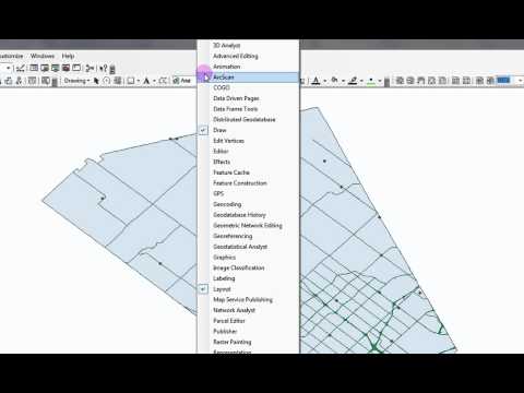
ArcMap 10 Tutorials
Add to list
#Engineering
#GIS
#ArcGIS
#Data Science
#Data Visualization
#Data Analysis
#Geospatial Analysis
#Geospatial Data Analysis