Description:
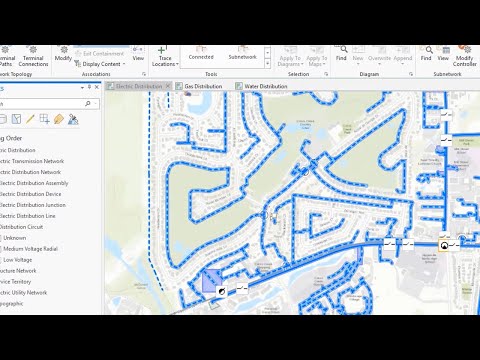
ArcGIS Utility Network is designed to be the next generation spatial information system to provide greater functionality over massive datasets at every scale of resolution. Now, utilities can leverage the power of the entire ArcGIS Enterprise to provide tools with a focus on the user experience and improve communication across your organization.
ArcGIS Utility Network integrates with the ArcGIS platform and connects to all your ArcGIS data as well as data from other sources.
ArcGIS Utility Network
Add to list
#Engineering
#GIS
#ArcGIS
#Computer Science
#Information Technology
#Data Management
#Data Validation