Description:
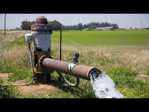
Explore the Australian Bureau of Meteorology's suite of nationally-consistent groundwater information products in this 40-minute webinar. Learn about the National Groundwater Information System, Australian Groundwater Explorer, Australian Groundwater Insight, and Groundwater Dependent Ecosystems (GDE) Atlas. Discover how these freely available tools support various use cases, including environmental impact assessments, water planning and management, and research. Gain insights into groundwater quality, data ownership, accessibility, and future developments. Understand the importance of state boundaries, water level data, and resource forwarding in groundwater management. Address questions about automated access, data availability across states, and the distinction between average and current water levels.

Accessing Nationally-Consistent Groundwater Information
Add to list
#Science
#Earth Science
#Hydrology
#Environmental Science
#Water Management
#Environmental Impact Assessment