Полевые ГНСС Измерения - Планирование и Подготовка
Освойте планирование и подготовку полевых ГНСС измерений для эффективного сбора геопространственных данных с высокой точностью.
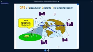
Основы и Перспективы Развития ГНСС
Изучите основы и перспективы развития глобальных навигационных спутниковых систем (ГНСС), их принципы работы и будущие направления.

Технология Использования Съемки в Режиме Кинематика (ППК) - Часть II
Освойте технологию съемки в режиме кинематика (ППК) для повышения точности и эффективности геодезических работ.
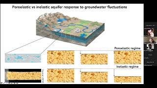
Geodetic Insights into Water-driven Aquifer and Ice Sheet Dynamics
Explore geodetic techniques for monitoring aquifer systems and ice sheet dynamics, focusing on groundwater fluctuations, subsidence, and meltwater impacts on Greenland's ice sheet.
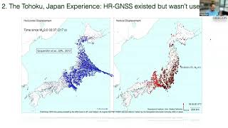
The Future of High-Rate GNSS in Earthquake Observing Systems
Explore advancements in high-rate GNSS technology for earthquake monitoring, its potential impact on observing systems, and future applications in seismology and geophysics.
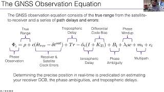
GNSS Velocities for Seismic Network Applications
Learn to utilize GNSS velocities for seismic network applications, enhancing your understanding of geodetic data in earthquake monitoring and tectonic studies.
Demystifying Wi-Fi Antenna Integration for IoT Devices
Explore Wi-Fi antenna integration for IoT devices, combining Wi-Fi with other wireless standards. Learn about tools and techniques for robust RF performance and efficient antenna design.
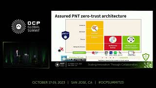
Assured PNT: Understanding GNSS Security and Backup Solutions
Discover essential principles of Assured PNT, GNSS cybersecurity measures, and innovative backup solutions like TaaS and GBaaS for maintaining critical network stability during signal outages.
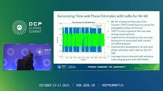
Developing an IoT Software Defined Radio for Wireless Clock Synchronization
Explore wireless clock synchronization through IoT Software Defined Radio, focusing on OCP-TAP Time Cards implementation and LoRa-based Wi-Wi protocol for precise timing distribution.
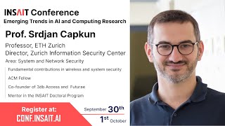
Security of Radio-Based Positioning Systems - GNSS, 5G, and UWB
Explore security challenges and solutions for positioning systems like GNSS, 5G, and UWB, focusing on physical-layer attacks, protective measures, and emerging standards in automotive and smartphone applications.

Zephyr 101 - Multi-Event Polling and Thread Control
Learn multi-event polling and thread control in Zephyr RTOS. Master efficient handling of multiple events and gain insights into advanced thread management techniques for embedded systems.

Технология Использования Съемки в Режиме Кинематика (ППК) - Часть I
Изучите технологию съемки в режиме кинематика (ППК) для геодезических работ. Освойте основы и принципы применения этого метода в полевых условиях.

Технология Использования Съемок Реального Времени (РТК) - Часть II
Изучите передовые методы съемок реального времени (РТК) и их применение в современной геодезии и картографии.
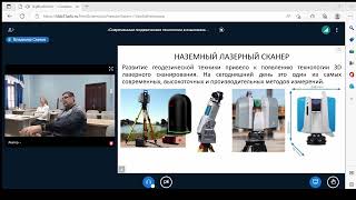
Применение глобальных навигационных спутниковых систем
Изучите применение глобальных навигационных спутниковых систем для повышения эффективности и управления качеством в геологии и нефтегазовых технологиях.

Using Space Technology to Solve Nigeria’s Socioeconomic Problems | Temidayo Oniosun | TEDxAjah
In this talk, Temidayo posits that space technology can help solve Nigeria’s urgent socioeconomic challenges. He highlights Nigeria’s growing space industry, satellite capabilities, and local innovations, showing how space data can support agriculture, environmental protection, security, urban plann