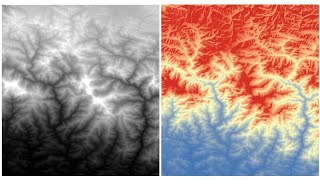
RS-GIS Data Download
Learn to download and process various geospatial datasets, including DEMs, climate data, soil maps, satellite imagery, and more. Gain skills in data acquisition and preparation for GIS analysis.
QGIS for Preparing and Visualising Hydrological Data
Learn to preprocess and visualize hydrological data using QGIS. Explore catchment derivation, stream network creation, map design, and 2D/3D visualization techniques for effective water modeling and analysis.
Технология получения основных производных материалов по данным аэрофотосъемки - Часть III
Освойте технологию создания производных материалов на основе аэрофотосъемки в третьей части курса от CdoGEO Казанского федерального университета.
Основы фотограмметрии для работы с материалами аэрофотосъемки - Часть I
Изучите основы фотограмметрии и обработки данных аэрофотосъемки для эффективного применения в геодезии и картографии.
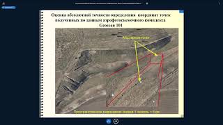
Основы фотограмметрии для работы с материалами аэрофотосъемки - Часть II
Изучите основы фотограмметрии и обработки данных аэрофотосъемки для эффективного применения в геодезии и картографии.
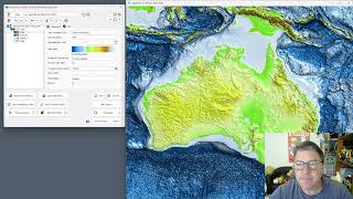
GEBCO 2023 Gridded Bathymetry Data Processing in ProRaster Scientific
Explore GEBCO 2023 bathymetry data using ProRaster Scientific. Learn to create raster sources, join operations, and export to MRR format. Visualize sea level changes and paleo-topography.
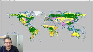
Classify Raster Operation in ProRaster Scientific - Deep Dive Tutorial
Explore ProRaster Scientific's Classify operation for raster data processing. Learn to classify continuous rasters, reclassify existing data, handle pyramid issues, and perform advanced classifications with practical examples.
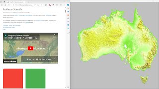
Comparing GLO-30, MERIT DEM, and Australian DEM in ProRaster Scientific - Australia Flyover
Explore Australia's diverse landscapes through a comparison of GLO-30, MERIT DEM, and Hydrologically Enforced DEM datasets using ProRaster Scientific software.
Applying Structure-from-Motion Photogrammetry to High-Resolution Terrain Modeling of Barva Volcano's Southeastern Parasitic Cones
Explore high-resolution terrain modeling of Barva Volcano using Structure-from-Motion photogrammetry in this Master's Capstone Defense presentation.

Ocean Expert Exchange - Using Tech to Advance Reef Science
Explore cutting-edge technologies revolutionizing reef science, from underwater photogrammetry to digital elevation models, and learn how they aid in coral conservation efforts.
Digital Elevation Model of Lunar Poles with Cameras On-Board Chandrayaan-2 by Amitabh
Explore lunar pole topography using Chandrayaan-2 cameras to create digital elevation models, advancing our understanding of the Moon's polar regions.
Геоморфологические и геодинамические исследования в геологии - Морфометрический анализ ЦМР - Часть II
Освойте морфометрический анализ цифровых моделей рельефа для геоморфологических и геодинамических исследований в геологии.
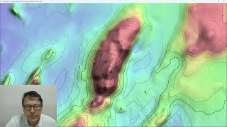
ProRaster Scientific 2.5.01 - Deep Dive into Contouring Features
Master the contouring features in ProRaster Scientific 2.5.01, from basic layer creation to advanced techniques like manual contours, opacity settings, and custom labeling for enhanced geospatial visualization.