
ArcGIS Pro Quick-Start Tutorials
Get started in ArcGIS Pro and begin creating projects, exploring features, analyze spatial data, and edit your maps.
ArcMap & ArcCatalog
This playlist discusses ArcMap and Geodatabase basics on ArcGis. You will also get to understand the difference between ArcMap and ArcGis Pro, Creating Grid Index in ArcMap, Georeferencing CAD Files in ArcMap and using Layer files in ArcMap and ArcGis Pr…
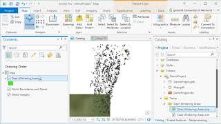
ArcGIS Pro
ArcGIS Pro is desktop GIS software developed by Esri, which replaces their ArcMap software generation. Learn the basics of using ArcGIS such a spatial joins, selections of attributes and layers, raster processing and topograpic analysis in this tutorial…
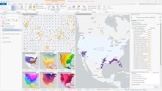
ArcGIS Pro
ArcGIS Pro is Esri’s powerful, single desktop GIS application. Technologically ahead of everything else on the market, ArcGIS Pro supports data visualization, advanced analysis and authoritative data maintenance in both 2D and 3D.
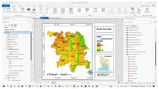
ArcGIS Pro
Learn the fundamentals of ArcGIS Pro, a powerful GIS software, in this beginner-friendly two-part tutorial series covering essential tools and features.
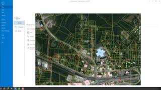
Editing Data with ArcGIS Pro
Learn essential data editing techniques in ArcGIS Pro, including feature templates, creating new features, merging, reshaping, and vertex editing for efficient geospatial data management.
ArcGIS Pro
Learn ArcGIS Pro through comprehensive tutorials covering installation, data editing, 3D mapping, and migration from ArcMap. Master essential tools and techniques for effective geospatial analysis and cartography.
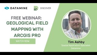
Geological Field Mapping with ArcGIS Pro and Discover Mobile
Explore ArcGIS Pro and Discover Mobile for geological field mapping. Learn to centralize project data, capture structural points, view live trends, and interpret outcrops efficiently.

Jaguares y Serpientes
Uso de Python y ArcPy para analizar datos de telemetría en la conservación de jaguares, combinando tecnología y ecología para entender y proteger esta especie.