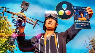
How to Film and Edit 360° Video - DaVinci Resolve VR Editing In-Depth Tutorial
Comprehensive guide on filming and editing 360° drone videos using DaVinci Resolve, covering equipment setup, shooting techniques, and post-production workflows for creating immersive aerial experiences.
Earthscape from Powered Paraglider - Aerial Photography Journey
モーターパラグライダーを使った独自の空撮で地球の美しさを捉える「Earthscape」プロジェクトと、世界七大陸の最高峰を空撮する挑戦について、写真家山本直洋が語る情熱的な旅。
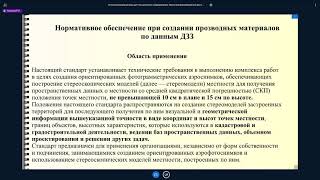
Технология получения основных производных материалов по данным аэрофотосъемки - Часть III
Освойте технологию создания производных материалов на основе аэрофотосъемки в третьей части курса от CdoGEO Казанского федерального университета.
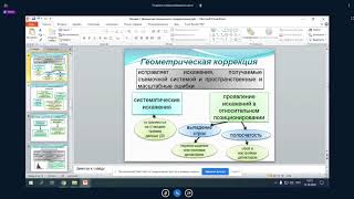
Аэрофотосъемка и дешифрирование снимков - Часть II
Изучите методы аэрофотосъемки и дешифрирования снимков для геологических исследований. Углубите знания в области дистанционного зондирования Земли.
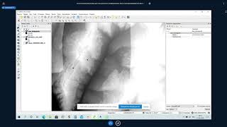
Основы фотограмметрии для работы с материалами аэрофотосъемки - Часть I
Изучите основы фотограмметрии и обработки данных аэрофотосъемки для эффективного применения в геодезии и картографии.
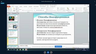
Аэрофотосъемка и дешифрирование снимков - Часть I
Изучите основы аэрофотосъемки и методы дешифрирования снимков для получения ценной геопространственной информации.
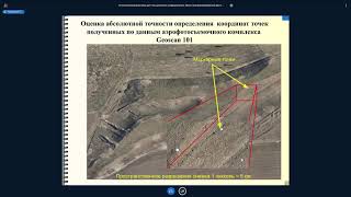
Основы фотограмметрии для работы с материалами аэрофотосъемки - Часть II
Изучите основы фотограмметрии и обработки данных аэрофотосъемки для эффективного применения в геодезии и картографии.
What Filmmakers Should Know Before Flying a Drone
Learn essential drone operation skills for filmmaking, including safety protocols, legal requirements, and creative techniques to capture stunning aerial footage.
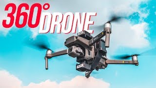
Insta360 ONE R Aerial Edition Review and Tutorial - Invisible 360 Drone Tech In-Depth from a Pro
Comprehensive tutorial on Insta360 ONE R Aerial Edition, covering setup, installation, and flying techniques for creating invisible 360 drone footage. Includes essential safety tips and practical demonstrations.
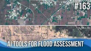
AI Tools for Flood Assessment and Modeling
Explore cutting-edge AI tools for flood assessment and modeling, including rapid analysis of dam breaches, satellite imagery interpretation, and GIS plugins for efficient flood mapping and impact prediction.
UAV-based Person Detection and Geolocation for Search and Rescue
Discover how drones and computer vision revolutionize search and rescue operations through advanced person detection systems and deep learning models designed for aerial surveillance in wilderness environments.
Opening a Treasure Trove - The Historical Aerial Photography Project
Explore Australia's changing landscape through a digitized aerial photography archive, featuring open-source solutions for metadata management and image discovery across multiple agencies.
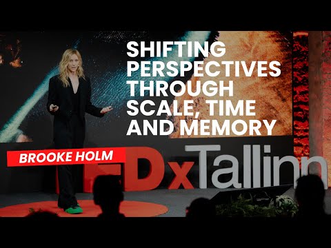
Shifting Perspectives Through Scale, Time and Memory | Brooke Holm | TEDxTallinn
This talk invites you to shift your perception of time, space, and landscape through the work of artist Brooke Holm. By weaving together imagery of Earth and Mars, past and future, it asks whether time is a straight line or a layered echo of memories, and shows how the forces shaping our planet conn

Эффектная анимация в Google Earth Studio
В этом уроке Евгений Гончаров расскажет вам, как в пару кликов создать эффектные пролёты и имитацию аэросъёмки в Google Earth Studio. https://www.google.com/earth/studio/ Google Earth Studio использует данные сервиса Google Earth, поэтому полноценно воспользоваться им можно только в тех городах,