Description:
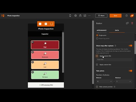
ArcGIS QuickCapture is the fastest way to collect field observations. With this simple app, you can quickly record field observations from a moving vehicle while you scout locations, conduct aerial surveys, or assess damage. Send data back to the office for analysis in real time and eliminate time spent manually processing handwritten notes. ArcGIS QuickCapture is integrated with ArcGIS, so new data from the field can be used instantly for better decision-making.
ArcGIS QuickCapture
Add to list
#Engineering
#GIS
#ArcGIS
#Social Sciences
#Urban Planning
#Science
#Agriculture
#Disaster Management
#Disaster Response
0:00 / 0:00